Note
Go to the end to download the full example code.
Rasterize shapefiles#
Importing the necessary packages:
import matplotlib.pyplot as plt

import imod
Get the example shapes
temp_dir = imod.util.temporary_directory()
lakes = imod.data.lakes_shp(temp_dir)
We’ll need a dummy grid which we will use as a reference for for rasterizing the shapefile. We are just going to create one with the convenience function.
xmin = 90950.0
xmax = 115650.0
dx = 100

ymin = 445850.0
ymax = 467550.0
dy = -100.0

like_2d = imod.util.empty_2d(dx, xmin, xmax, dy, ymin, ymax)
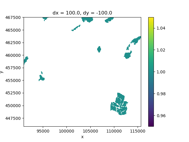
Rasterrize the shapes
lake_grid = imod.prepare.rasterize(lakes, like=like_2d)

# Plot
fig, ax = plt.subplots()
lake_grid.plot.imshow(ax=ax)

<matplotlib.image.AxesImage object at 0x0000019B35781610>
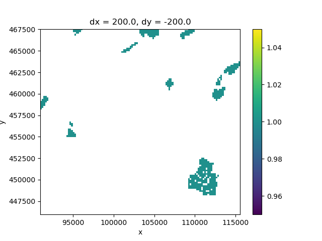
To rasterize on a different grid, create a dummy grid
dx_coarse = 200
dy_coarse = -200
like_2d_coarse = imod.util.empty_2d(dx_coarse, xmin, xmax, dy_coarse, ymin, ymax)

lake_grid_coarse = imod.prepare.rasterize(lakes, like=like_2d_coarse)

# Plot
fig, ax = plt.subplots()
lake_grid_coarse.plot.imshow(ax=ax)

<matplotlib.image.AxesImage object at 0x0000019B1F2D4FB0>
Total running time of the script: (0 minutes 0.719 seconds)