Note
Go to the end to download the full example code.
Polygonize raster#
iMOD Python also provides convenience functions to polygonize rasters.
import matplotlib.pyplot as plt
import imod
We’ll start off by creating an example raster lake_grid to convert to
polygons. This is similar to the Rasterize shapefiles example.
temp_dir = imod.util.temporary_directory()
lakes = imod.data.lakes_shp(temp_dir)

# Create dummy grid
xmin = 90950.0
xmax = 115650.0
dx = 200

ymin = 445850.0
ymax = 467550.0
dy = -200.0

like_2d = imod.util.empty_2d(dx, xmin, xmax, dy, ymin, ymax)

# Rasterrize the shapes
lake_grid = imod.prepare.rasterize(lakes, like=like_2d)
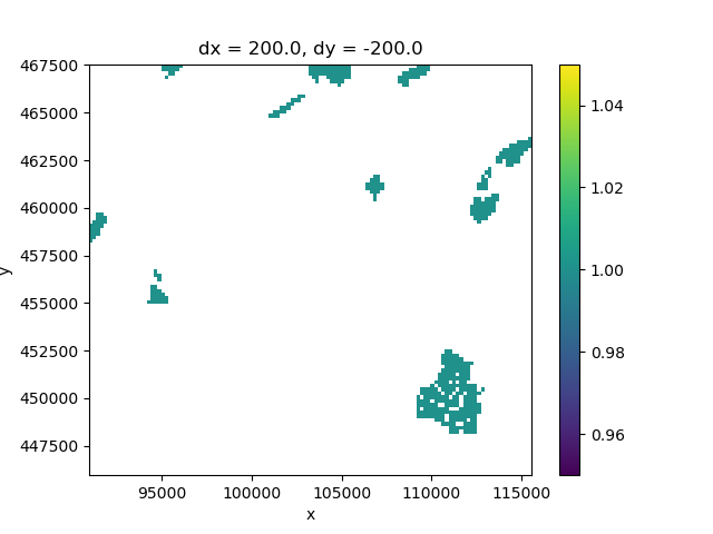
Our raster looks like this:
fig, ax = plt.subplots()
lake_grid.plot(ax=ax)

<matplotlib.collections.QuadMesh object at 0x0000019B359BB050>
Polygonize the lakes
polygonized_lakes = imod.prepare.polygonize(lake_grid)

polygonized_lakes.head(5)
This also polygonized the areas with np.nan. So we can drop those, using regular pandas functionality
polygonized_lakes = polygonized_lakes.dropna()

polygonized_lakes.head(5)
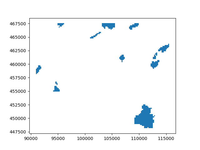
Plotted, we see a similar picture to the plotted raster
fig, ax = plt.subplots()
polygonized_lakes.plot(ax=ax)

<Axes: >
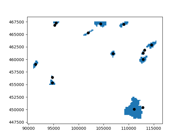
Since it is a GeoDataFrame, we can now do vector operations. Like computing the centroids and plotting them as points.
centroids = polygonized_lakes.centroid

fig, ax = plt.subplots()
polygonized_lakes.plot(ax=ax)
centroids.plot(ax=ax, color="k")

<Axes: >
Total running time of the script: (0 minutes 0.719 seconds)