Note
Go to the end to download the full example code.
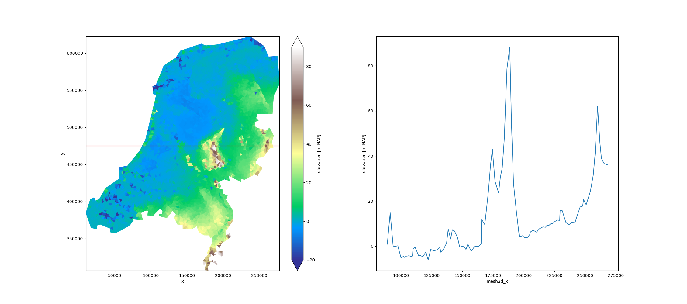
Elevation NL#
This is a small dataset containing a triangulation of a digital elevation model of the Netherlands.
[<matplotlib.lines.Line2D object at 0x7fea661be390>]
import matplotlib.pyplot as plt

import xugrid

uda = xugrid.data.elevation_nl()

section_y = 475_000.0
section = uda.ugrid.sel(y=section_y)

fig, (ax0, ax1) = plt.subplots(figsize=(22.6, 10), ncols=2)
uda.ugrid.plot(ax=ax0, vmin=-20, vmax=90, cmap="terrain")
ax0.axhline(y=section_y, color="red")
section.plot(ax=ax1, x="mesh2d_x")
Total running time of the script: (0 minutes 0.696 seconds)